Pages

Showing posts with label nature. Show all posts

#854 Blue Mountains, NSW, Australia

http://www.bluemts.com.au/
This is the view I remember, but when I saw it, I don't think there was a gondola sitting above the depths. It was my first experience of a hail stone storm -- I didn't understand how it could be so hot, yet with massive pieces of ice falling from the sky.

A short drive up from Sydney, the mountains encompass a large area of inland New South Wales. I remember how the mountains seemed to drop off, as opposed to rising up, and this would make sense considering they are a sandstone plateau with gorges being carved out of it.

The aboriginal legend is a Gundungurra creation story where the Dreamtime half-fish half-reptile creatures Mirigan and Garangatch fought a large battle, scarring the landscape. Many areas of archaeological importance are in the area (22,000 years old), with the rock shelter Red Hands Cave having ancient hand stencils and other areas having grinding stones and carved animal track images.

They were called the blue mountains because of the appearance from a distance, believed to be caused by mie scattering combined with ultraviolet radiation, and the terpenoids emitted by the many eucalyptus trees (though I admit I don't really know what that means!).

http://en.wikipedia.org/wiki/File:BlueMountains123.jpg
Source: http://www.bluemts.com.au/
http://en.wikipedia.org/wiki/Blue_Mountains_(New_South_Wales)

#855 Pink and White Terraces (Otukapuarangi), New Zealand

painting of Pink & White Terraces
John Clarke Hoyte painting. Pink and White Terraces, Lake Rotomahana and Mount Tarawera. Watercolor and gouache on paper. ca 1870s. Hocken Collections. Uare Taoka o Hakena, University of Otago.
http://www.whoi.edu/oceanus/viewImage.do?id=223993&aid=135809
This is an unusual one: The pink and white terraces are an amazing place -- however they no longer exist. Actually, they no longer exist in the form that made them famous.

http://www.buriedvillage.co.nz/pink_and_white_terraces/p/49
The pink and white terraces were two sets of beautiful geyser formations of silica terraces in Lake Rotomahana near the dormant volcano Mt. Tarawera, around 25 km south of the New Zealand town of Rotorua, but they disappeared during an 1886 eruption of Mt. Tarawera. 800m apart, it is thought they had different appearances because of the amount of sunlight they each received, with the white ones being the larger set, around 50 layers and cascading over 40m in height, and the pink ones being the preferred area for swimming.

"The journey from Auckland was typically by steamer to Tauranga, the bridle track to Ohinemutu on Lake Rotorua, by coach to Te Wairoa by canoe across lake Tarawera, and then on foot over the hill to the swampy shores of Lake Rotomahana and the terraces." (Wikipedia)
photo
http://www.virtualoceania.net/newzealand/photos/volcanic/terraces/whiteterraces.shtml
The eruption at 3am on 10 June 1886 caused the lake floor to explode, showering the area with liquid mud, ash, stones and other debris, not only reclaiming the terraces, but burying two Maori villages, Moura and Te Ariki. After the eruption, there was a crater where the terraces had been, which was eventually filled with the water of the lake

Water Basins photo
http://www.virtualoceania.net/newzealand/photos/volcanic/terraces/waterbasins.shtml
In Maori they were known as Otukapuarangi, "fountain of the clouded sky" and they were a popular tourist attraction from the 1840s, especially after Prince Albert, the Duke of Edinburgh, visited in 1870, but were a source of racist resentment from the white (pakeha) New Zealanders because the Te Arawa tribe that owned them became wealthy from their control and ownership of the area (they even had their marae (meeting house) in Hinemihi made with gold florins instead of paua (abalone shell) eyes. After the eruption killed and displaced members of the tribe, the New Zealand government unfairly converted the area into crown land in a payment-for-relief-assistance system, although much of this (including 13 lakes in 2006) has been returned to the tribe in the past decades as part of the Treaty of Waitangi tribunal.

Lake Tarawera photoLake Tarawera photo
Lake Tarawera before the eruption and today -- the eruption enlarged the lake. A narrow isthmus separates lakes Tarawera and Rotomahana.

I've been fascinated with the pink and white terraces since I was a girl and saw a beautiful painting of them. It was only after a while that I learned that they had been destroyed -- I had dreamed of visiting them!

In a marvel of modern science, the lowest two tiers of the pink terraces were rediscovered 60 metres underwater while mapping the lake floor in 2011, and it is thought that the rest may be buried under sediment, and the increased-level lake.

#872 Perito Moreno Glacier, Argentina

In any tourist brochure of Argentina, it is likely that there will be a photo of the Perito Moreno Glacier in Los Glaciares National Park. Perito Moreno isn't the largest glacier, nor the widest, but it's unique feature is that it buttresses up against a peninsula making it very easy to see it from above, allowing visitors to imagine how all glaciers calved valleys and lakes across the world. The other really cool thing about it is that when it hits the peninsula it forms a natural dam, causing the southern arm of Lago Argentino to be dammed and blocked from releasing its water into the main lake. Over time of course, the pressure builds up -- occasionally this breaks in a spectacular burst as the water pushes through all at once, but more often this carves a river under the glacier forming an ice-bridge (see pictures above) which eventually falls, also spectacularly, as it becomes too weak to support the weight of ice above. 

The north side of the glacier from the water -- the peninsula can be seen to the left side.

The peninsula forms a super lookout point from which to watch and hear the glacier calving - because it is a glacier that is growing, this happens often. The many kilometers of trails also hide native plants, animals and birds. We were lucky enough to see a woodpecker up close. The glacier can also be seen from air, boat (on both north and south sides of the glacier), and some visitors even walk on parts of it.
It is just one of many glaciers in Los Glaciares National Park that come from the Southern Patagonian Ice Field (shared with Chile) -- one of the largest masses of ice in the world. The glacier was named after important 19th Century Argentinian naturalist and explorer, Francisco Moreno.

#882 Lemaire Channel, Anarctica

While it may appear to be a very large channel, in bad weather its possible to have to navigate the small (1,600m wide at its narrowest), iceberg-filled area in fog and clouds so low you can't see either side -- if you can pass through at all due to the ice. Nicknamed by visitors as 'Kodak Gap', it is a spectacular, narrow passage between the Antarctic Kiev Peninsula and Booth Island. It was named by De Gerlache for a fellow Belgian explorer (of the Congo!), the first to traverse it 1898. Such high cliffs (3000m) on either side make for spectacular scenery, making a large ship appear nothing more than a toy.
Source: http://en.wikipedia.org/wiki/Lemaire_Channel
http://www.antarcticconnection.com/antarctic/travel/locations/lemaire_channel.shtml

#886 Wadi Rum, Jordan

There are few places in the world that are so much the center of the world, yet so isolated and desolate that very little life exists there. Wadi Rum is such a place. Very close to Aqaba on the Red Sea, it is an area that has been inhabited and traversed for millennia, yet there are almost no settlements and minimal inhabitants. It is a spectacular place, as beautiful a desert as could exists, with unique and beautiful windswept rock arches and towers, rich red and gold sands, and vast vistas of mirages and shimmering heat. The Bedouins have roamed this area for centuries and still call it home. There is nothing more welcoming than a small fire in a Bedouin desert tent, with tea ready for consumption, a soft red woolen cushion and the blissful shade from the scorching sun.
Rock art decorates the ancient walls showing images of a story that has long been forgotten. Lawrence of Arabia was much at home here and his legacy lives on amongst the people. Wadi Rum is a mystical, special place, Wadi representing a valley, and rum definitely not translating to what we know it as!


#906 West Coast Glaciers (Te Wahipounamu), New Zealand

Fox Glacier ice cave
River emerging from Fox Glacier
People are often quite astonished to discover that New Zealand has growing glaciers -- it perhaps does not seem cold enough, but the Southern Alps provide a perfect environment for the mountain glaciers to feed the coastal ice flows that end in the rain forest not far from the ocean's edge.
Fox Glacier -- rainforest surrounding it
 
Very accessible in around an hour's walk from the main road, but surrounded by spectacular high peaks, they are a magical other-worldly place to visit. Like most other place's on New Zealand's West Coast South Island, there are minimal people living anywhere closeby allowing it to remain untouched and wild.
Franz Josef Glacier

Source: http://en.wikipedia.org/wiki/Fox_Glacier
http://en.wikipedia.org/wiki/Franz_Josef_Glacier

#908 Colombian Rio Amazonas, Colombia

The Colombian stretch of the Amazon is tiny... probably not much more than 50km, but because it's the only part, it is well developed and easy to visit. While in reality you might actually pop over to the Peruvian side, and maybe you'll go shopping for chocolate (or in my case, Havianas) in Tabatinga in Brazil, the Colombian Amazon is beautiful.
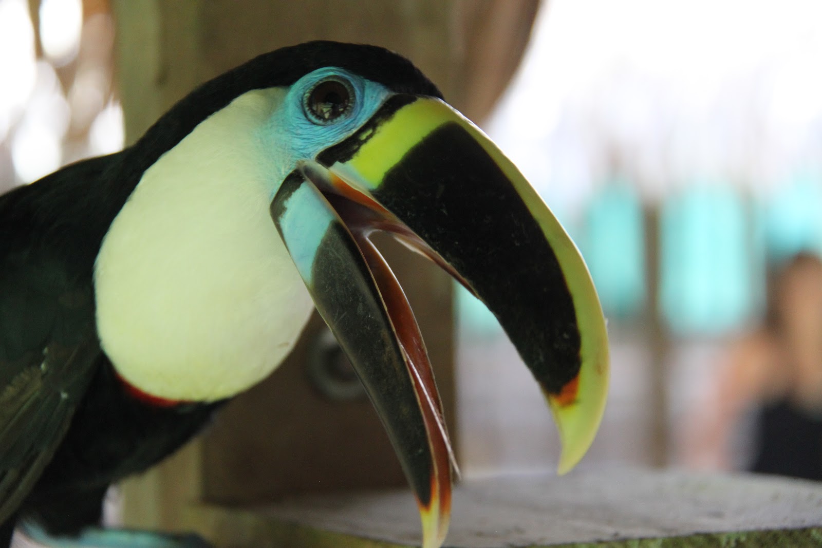
All sorts of amazing animals to see -- while I never got to see the massive pirarucu fish, I ate it often and the scales are for sale in various forms of jewelry and ornamentation across Leticia. Piranas and other fish that swim up inside you are not really in this part of the Amazon, but alligators and anacondas swim the waters and can best be found at night. We took a small wooden canoe to "hunt" them -- finding alligators from their reflective eyes using our torch lights. Anacondas eyes shine back red, and I only saw them from afar, constantly remembering the Hollywood movie and feeling excited even though they are afraid of humans for the most part. The birds are absolutely amazing! Whereas I saw tourists excited about a toucan 20m away in Guatemala, in this part of the Amazon, toucans are friendly and hang out at jungle lodges, causing mischief as they squawk down from you while sitting on the loo! Other friendly green parrots chirp and chat, but it took me a while to get a response until I realised they only speak Spanish. "Hola!" The fascinating capybara is a small rodent and there are also monkeys, turkeys, toads, and of course, hundreds of spiders. I can still remember thinking that a divet in a tree was a perfect place to hang my hammock from, but when I went to shine a torch inside I discovered it was home to a large tarantula! When we saw some beautifully colored parrots on one of the lodges, I had an interesting conversation with a Colombian about which one was more beautiful. She said the red, which I think of as a typical parrot color, whereas I thought the blue one was nicer, and she said that was the typical color for them! There were lots of butterflies and moths, and even a terrapin sunning itself on a log. You can see another Amazon trend in the picture below -- the fruit of the huito is turned into a blue body paint!
Another animal that's common in the Amazon is the dolphin. There are two kinds, pink and grey, and where they swim, you know it is safe to swim because they chase away other predators.

Sleeping in the jungle in a hammock is a magical experience: sitting in the pure dark with the odd monkey call, and waking up the the music of the birds. Getting it set up is another deal entirely. The mosquito net and the rain tarp make for a complicated setup, but I felt as safe as could be, and only sighed over the annoyance of having to get out of it to pee in the middle of the night... shaking those gumboots out in case of critters in the dark!!


As my students like to say, when you first see Leticia, it is a tiny village, but upon emerging from the jungle it is the height of civilization! The docks are on ferries to counter the seasonal flood and ebb of the river


As for the villages dotted along the river, I've had the privilege of visiting three of them. Puerto Narino, to the western-most extent of the Colombian Amazon, on a little side river, is developed, groomed and charming, with little concrete paths and wooden huts. Following a boardwalk and then ending up on a jungle path leads you to Valencia, and further along back towards Leticia is Macedonia. 
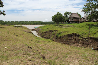

Macedonia
Macedonia 
Valencia
Valencia
Downtown Puerto Narino
The boardwalk just outside of Puerto Narino.
The viewing and water tower in Puerto Narino.
The view from Puerto Narino tower.
In general, the Amazon is mystical, primitive, simple, down-to-earth where nature is at its closest to human civilization. Medicine from the jungle, la selva is still used, and most people are actually afraid of the water. To build the airport in Leiticia, there are stories of having to bring all the concrete and stones in from Brazil because the earth by itself is too soft, but this is hard to imagine when seeing all the concrete roads in Leiticia. With its amazing sunsets, abundant bird life, multiple new animals, and peaceful vibe, it is a privilege to have visited.